From stopping the spread of malaria to monitoring the global risk of flooding

An OU academic who led a research project to stop the spread of malaria is now co-leading one which will monitor the potential extent of flooding globally.
Dr Andrea Berardi, OU Senior Lecturer in Engineering and Innovation, principal investigator for the new Landscape Senor-Based Monitoring Assessment using Remote Technologies (SMART) project is leading the Landscape Senor-Based Monitoring Assessment using Remote Technologies (SMART) project, which has received £398,641 from the UK Space Agency.
The project is co-led by Dr Alessandra Marino (OU Research Fellow, International Development and Inclusive Innovation, AstrobiologyOU), and includes as partners the University of Stirling, the Cobra Collective CIC and the North Rupununi District Development Board.
Mapping potential floods
SMART is a global service that uses remote sensing to provide near-real time monitoring of surface water at a significantly lower cost compared to existing technologies.
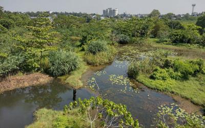
Initially, SMART will demonstrate market potential in three sites: Firth of Forth (Scotland), Colombo urban wetlands (Sri Lanka) and North Rupununi wetlands (Guyana) and then out scale globally.
Real-time flood forecasting in countries such as the UK relies on combining digital elevation models with river stage data to map the extent of flood events. This is often slow and expensive and in most cases river stage water levels provide an inaccurate picture of actual flood extent.
Solutions championed by communities
For countries that do not have an extensive river stage monitoring network, the understanding of surface water flood extent is even poorer.
This is a significant barrier to managing risk, improving planning decisions in relation to the location of developments, and to delivering effective investments in terms of flood defence, particularly the location of nature-based solutions that deliver multiple environmental and societal benefits.
Dr Berardi said:
"With escalating climatic disruptions, flooding is exposing many vulnerable communities to life-changing and life-limiting impacts. Space technologies such as satellite remote sensing are increasingly being deployed to adapt to and mitigate extreme flood events. Yet, flood monitoring technologies tend to be dominated by technical specialists and applied uncritically.
“If these technologies are to be used to support vulnerable communities, then these need to be co-designed by those affected and the technology tools need to be made accessible to them. Our SMART project is a ground-breaking initiative that transforms accessibility, control and use of space technologies for flood monitoring so that these can be championed and sustained by communities themselves."
The initiative, which is to run from 1 August 2021 to 31 March 2022, is funded by the UK Space Agency’s (UKSA) ‘Partnership in Innovation Development’ (Pin2D) designed to deliver innovative space solutions which have commercial application in both the UK and overseas.
Related content:
Contact our news team
For all out of hours enquiries, please telephone +44 (0)7901 515891
Contact detailsNews & articles

OU research model drives literacy transformation across São Paulo
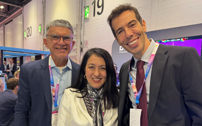
A major state-wide literacy programme in Brazil is demonstrating how Open University research is informing public policy at scale, following its high profile presentation at BETT London 2026 by São Paulo’s Secretary of Education, Renato Feder.